Skip to content
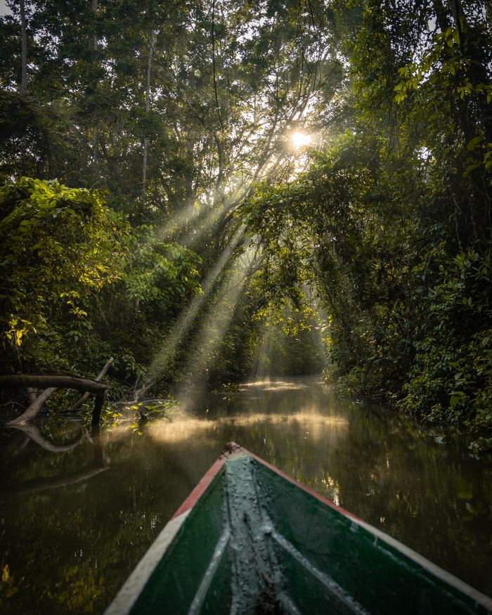
Camino del Choro Bolivia — bosque nublado en el descenso desde La Cumbre hacia la Amazonía
— Inca Trail · 60km · 3 days4.880m → 1.200m

The
Choro Trail.

60km from La Cumbre (4,880m) to Chairo (1,200m) at the Amazon's edge. Bolivia's most dramatic descent: Andean puna to Amazon jungle in 3 days. No permit required.

Distance
60km
Duration
3 days
Start
La Cumbre · 4,880m
End
Chairo · 1,200m
Total descent
-3,680m
Permit
Not required
— From the altiplano to the Amazon

The trail that connects two worlds.

You leave La Paz in a down jacket and arrive at Chairo in a t-shirt. With everything imaginable in between.

~500 BC–1400
The Qhapaq Ñan in the Yungas
The Choro Trail was part of the Qhapaq Ñan — the Inca road system of over 30,000km. La Cumbre (4,880m) is one of the highest starting points of any known Inca trail. The route connected the altiplano with the Yungas, the region supplying coca, tropical fruit and timber to the Tiwanaku and later Inca empires.
16th–19th c.
Colonial supply route
During the colonial period, the Choro was the supply route between La Paz (founded 1548) and the Yungas valleys. Coca and fruit produce came up this road to the altiplano under the mita system — mandatory indigenous labour that sustained the region's colonial economy for three centuries.
1960s
The Japanese community of the Yungas
In the 1960s, Bolivia accepted Japanese immigration. Several families settled in the Yungas along the Choro route. The Sandillani property — managed by the Miyamoto family for generations — became the trail's landmark campsite from the 1980s onwards. It is one of the most singular cultural encounters in Bolivian trekking.
today
The only trail that reaches the Amazon
60km, 3 days, 4 ecosystems, 3,680m descent. The Choro is the only Bolivian Inca trail that ends in the Amazon jungle. It starts at the same point as the Death Road — La Cumbre — and finishes at Chairo, where the trees are ceibas and butterflies are the size of a hand.

The Choro is the only Bolivian Inca trail that ends in the Amazon. No other trek from La Paz compresses four radically distinct ecosystems into three days. It is not just a walk — it is a complete climatic and biological journey from 4,880m of Andean puna to 1,200m of lowland tropical forest.

— Choro day by day

3 days. 4 ecosystems.

Andean puna → transition forest → cloud forest → Amazon. No other Bolivian trek compresses this much biodiversity into this little time.

Day 1
La Cumbre → Villa Esmeralda
~18km · 6–7h
  • Start at La Cumbre (4,880m) — the same starting point as the Death Road bike descent. 1h by taxi or minibus from La Paz.
  • First 4km across open Andean puna — spectacular views of Illimani and the Real cordillera.
  • Gradual descent through Andean transition grasslands.
  • Arrival at Villa Esmeralda (~3,700m) — first community with basic accommodation.
  • The initial section has the best-preserved Inca paving on the trail.

Carry all camping gear for Day 1 — no resupply until Villa Esmeralda. Temperature: cold at start (4–8°C at La Cumbre), mild on arrival (~12–15°C).

Day 2
Villa Esmeralda → Sandillani
~23km · 7–9h — the key stage
  • The longest and most spectacular stage — 23km and nearly 2,000m vertical descent.
  • Complete transition from high Andean vegetation to humid cloud forest (~2,500m) and then subtropical jungle (~2,000m).
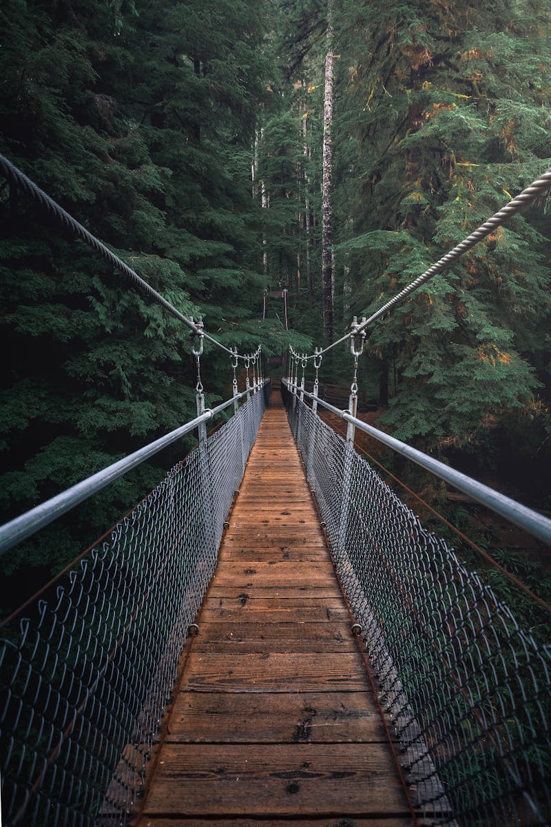
  • Multiple river crossings on colonial bridges and wooden suspension bridges.
  • Arrival at Sandillani (~2,000m) — Japanese-owned campsite with good facilities and hot shower (~30 Bs/night).
  • Biodiversity visible in the final section (tree ferns, orchids, butterflies) is exceptional.

Sandillani is the most comfortable camp on the Choro — hot showers, kitchen, tent area. The Japanese family who runs it has been in the Yungas for generations. Worth a long stop.

Day 3
Sandillani → Chairo → Coroico
~19km · 5–6h
  • Final section: last descent through low Amazon forest (1,200–2,000m).
  • Arrival at Chairo (1,200m) — vegetation is now fully Amazonian: ceibas, heliconias, palms.
  • At Chairo: transport (taxi or van) to Coroico (1h, ~50–70 Bs per person) or direct to La Paz (3h).
  • The final section includes crossing the Huarinilla river on a spectacular wooden bridge.
  • Option: finish in Coroico and stay 1–2 nights before returning to La Paz.

Don't finish the Choro and return to La Paz the same day if you can avoid it. Coroico 1h from Chairo is the perfect recovery stop — pool, good lunch, and the satisfaction of having walked 60km.

— Trails from La Paz compared

The three trails from La Paz.

TrailDistanceDaysDescentDifficultyPermitHighlight
Choro Trail60km3 days-3,680m (4,880→1,200m)Moderate–DemandingNoMost dramatic — 4 ecosystems, Amazon finish
Taquesi Trail42km2 days-2,480m (4,630→2,150m)ModerateNoBest Inca paving — 2-day classic
Yunga Cruz Trail35km2–3 days-1,800m (4,666→2,750m)DemandingNoHardest — highest ridgeline, best views
FAQ

Questions about the Choro.

Plan your trek →

The Choro Trail (Camino del Choro) is a 60km, 3-day trek descending from La Cumbre (4,880m) to Chairo (1,200m) at the Amazon's edge. It is the longest and most ecologically diverse of the three classic La Paz Inca trails. The route passes through four distinct ecosystems — Andean puna, transition forest, cloud forest and subtropical Amazon forest. No permit required, no daily quotas, no booking system.

The Choro is longer (60km vs 42km), takes 3 days vs 2, descends further (3,680m vs 2,480m) and finishes at lower altitude (1,200m vs 2,150m). The Choro crosses more ecosystems and is more physically demanding. The Taquesi has better-preserved Inca paving and is a more complete 2-day experience. Both are excellent; the choice depends on time available and desired intensity.

Moderate to demanding. Day 2 is the key: 23km and nearly 2,000m descent — long and knee-intensive. Good physical fitness (regular hiking or running background) is recommended. The altitude at La Cumbre (4,880m) is the main acclimatisation concern — spend minimum 2 nights in La Paz (3,600m) before the trek. The trail itself is not technically difficult (no climbing, no exposed ridges) but the length and descent are demanding.

May to October (dry season) is strongly recommended: less mud on the descent, drier camping, clearer views from La Cumbre. The wet season (November–April) is possible but Day 2 in particular becomes very slippery (3,680m vertical, mostly on muddy earth and root-covered trail). The Sandillani campsite owner reports the trail is manageable year-round but wet season significantly increases difficulty and the risk of falls.

Sandillani is a Japanese-Bolivian family property at ~2,000m on Day 2 of the Choro Trail — the best campsite on the route. It has hot showers, a kitchen with simple meals available, a proper camping area and one of the most diverse cloud-forest gardens in Bolivia (the owners have cultivated native orchids, bromeliads and ferns for decades). Cost: ~30–40 Bs per tent. The family has been on the Yungas since the 1960s Japanese immigration wave to Bolivia.

— Your Choro expedition

3,680m of descent.
Starts in La Paz.

We organise your complete Choro: transport, local guide, camping gear and return logistics.

$90 · €85 · Bs. 623

Book consultation → $90 · €85 · Bs. 623Yungas guide →