Skip to content
Yungas cloud forest Bolivia
oso-andino
— Ecosystem · Bolivian Yungas1.200–3.500m

The Yungas
of Bolivia.

The cloud forest strip between the Andes and the Amazon. The world's most famous road. Hand-carved Inca stone trails. 500-year-old Afro-Bolivian communities. The spectacled bear's habitat. All within 3 hours of La Paz.

Altitude
1,200–3,500m
Temperature
15–28°C year-round
Death Road
64km · 3,000m drop
Taquesi Trail
42km · 2 days
Recorded birds
700+ spp.
From La Paz
3 hours
— Bolivia's transition zone

From the Andes to the Amazon in a single day.

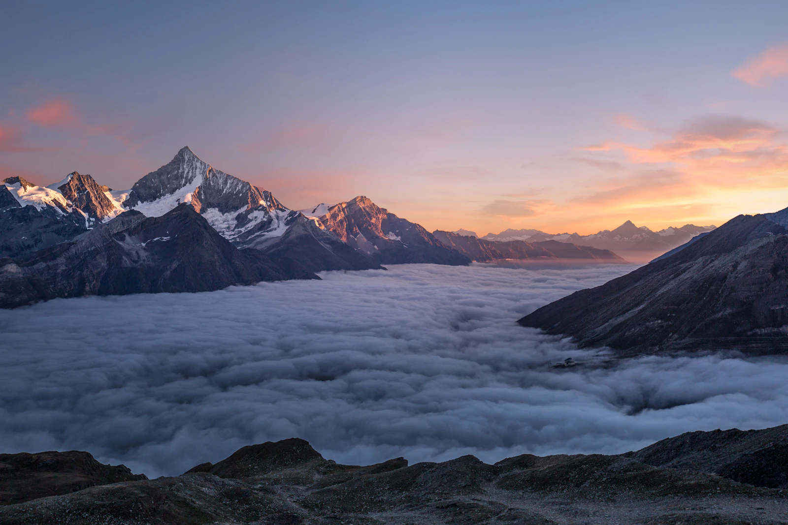
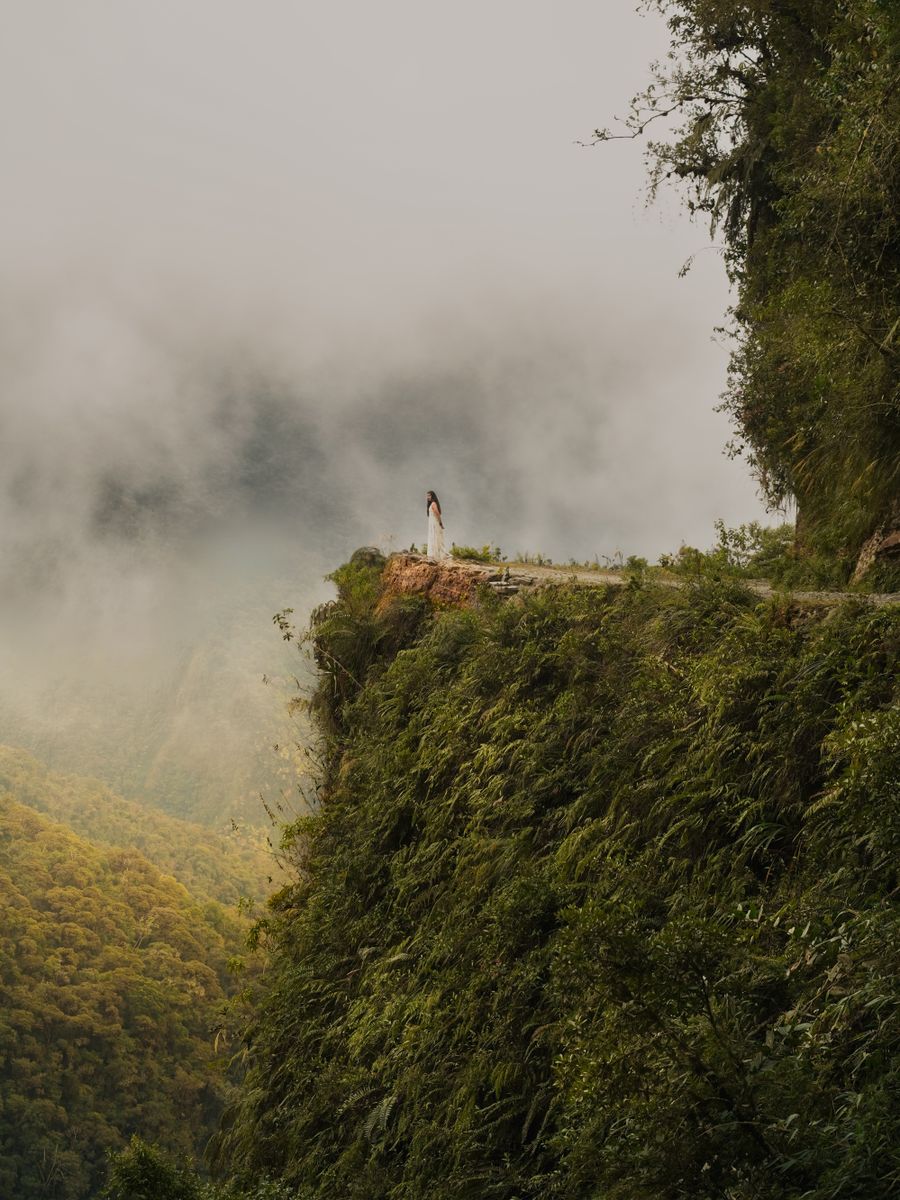
The Yungas are the cloud forest strip connecting the Andean altiplano with the Amazon basin — a transition zone between 1,200 and 3,500m where the ecosystem changes every 300 vertical metres. Nor Yungas and Sud Yungas are the two provinces that make up this region in La Paz department.

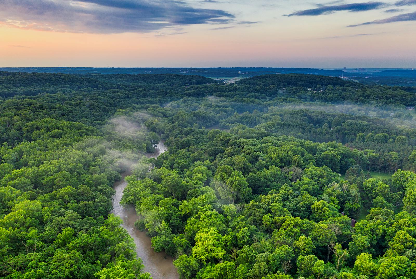
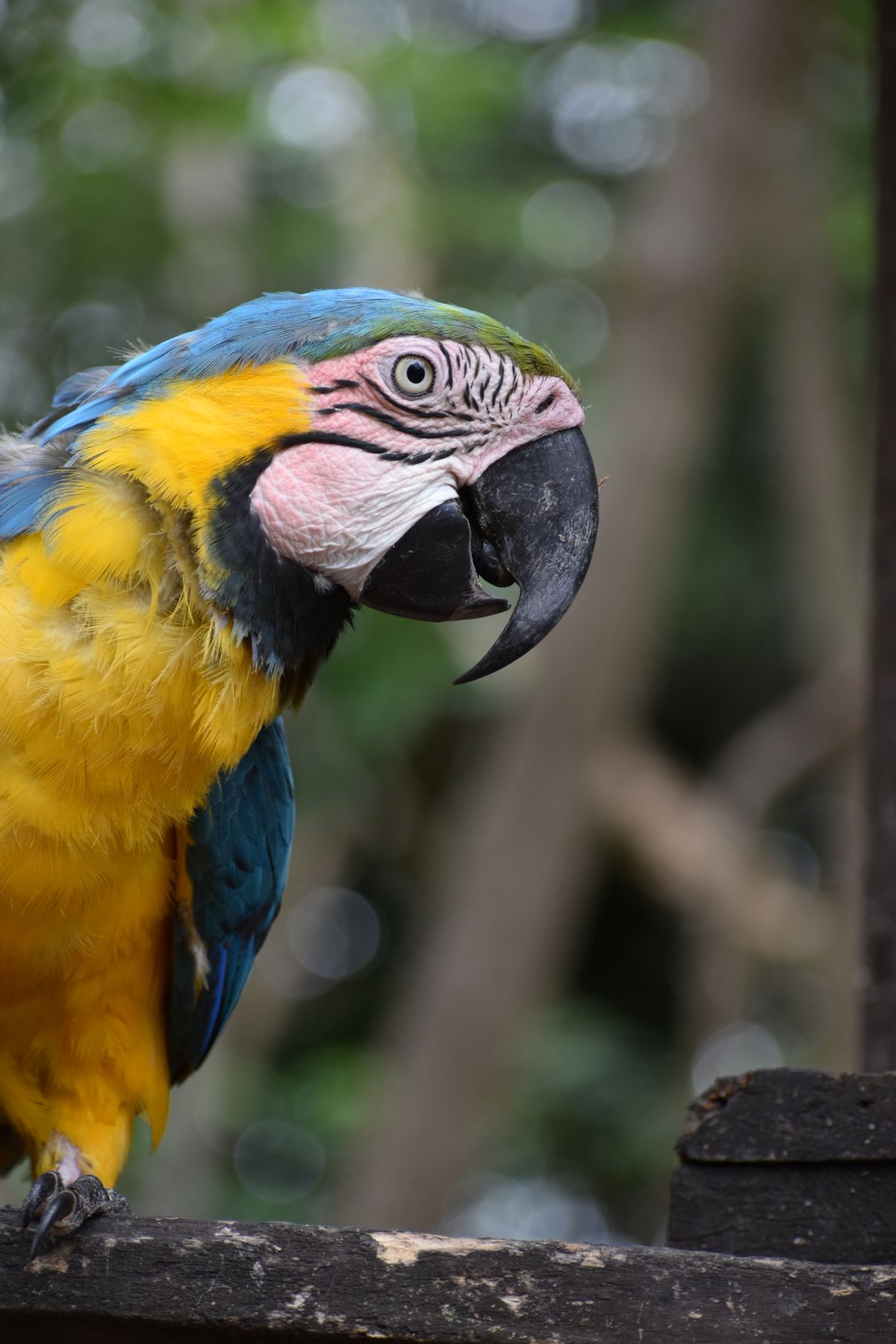
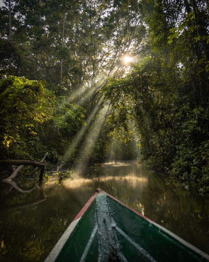
It is Bolivia's highest biodiversity per km² zone. Over 700 bird species have been recorded — including the Bolivian motmot, the Yungas pygmy-owl and the Andean toucan. The visual lushness is immediate: slopes are carpeted with ferns, orchids and bromeliads, and mist drifts in and out of the forest through the day.

The Yungas are also a historically and culturally important zone: three pre-Columbian Inca trails run through here (Taquesi, Choro, Yunga Cruz), the Afro-Bolivian communities — descendants of people enslaved and brought to 17th-century Potosí — live here, and here Bolivia produces its coffee, cacao and the coca consumed across the country.
Bolivia cloud forest
3,000m
vertical drop on the Death Road
42km
Taquesi trail (2 days)
700+
recorded bird species
500+
years of Afro-Bolivian presence
— The definitive guide

The Death Road: what you need to know.

64km from La Cumbre (4,650m) to Coroico (1,760m). 3,000 vertical metres through cloud forest. Bolivia's most popular adventure activity — with real information.

Start
La Cumbre, 4,650m
End
Coroico, 1,760m
Distance
64 km
Vertical drop
3,000m
Duration
4–5 hours biking
Tour price
$40–80 USD
Descent profile
Km 0
4,650m
La Cumbre
Snow · Strong wind · Cold
Km 15
3,800m
Dirt road begins
First classic section
Km 30
2,800m
Iconic precipice
Most dramatic photo
Km 50
2,000m
Dense cloud forest
Orchids · Ferns
Km 64
1,760m
Coroico
Lunch · Pool · Rest
🚲
Choose a reputable operator
Not the cheapest. Quality operators provide full-suspension bikes, full-face helmets, gloves and body armour, plus a support van. Ask specifically what type of bike is included before booking.
🌅
Depart La Paz at 7–8am
Most tours leave La Paz between 7–8am to reach La Cumbre before morning traffic. Cold at La Cumbre (4,650m) is intense — bring gloves and an extra layer you can shed on the descent.
🌧️
Dry season = best conditions
May–September: drier road, less mud, better visibility. In wet season (Nov–Mar), mud can make the descent significantly harder and falls are more frequent.
📸
Photo stops are included
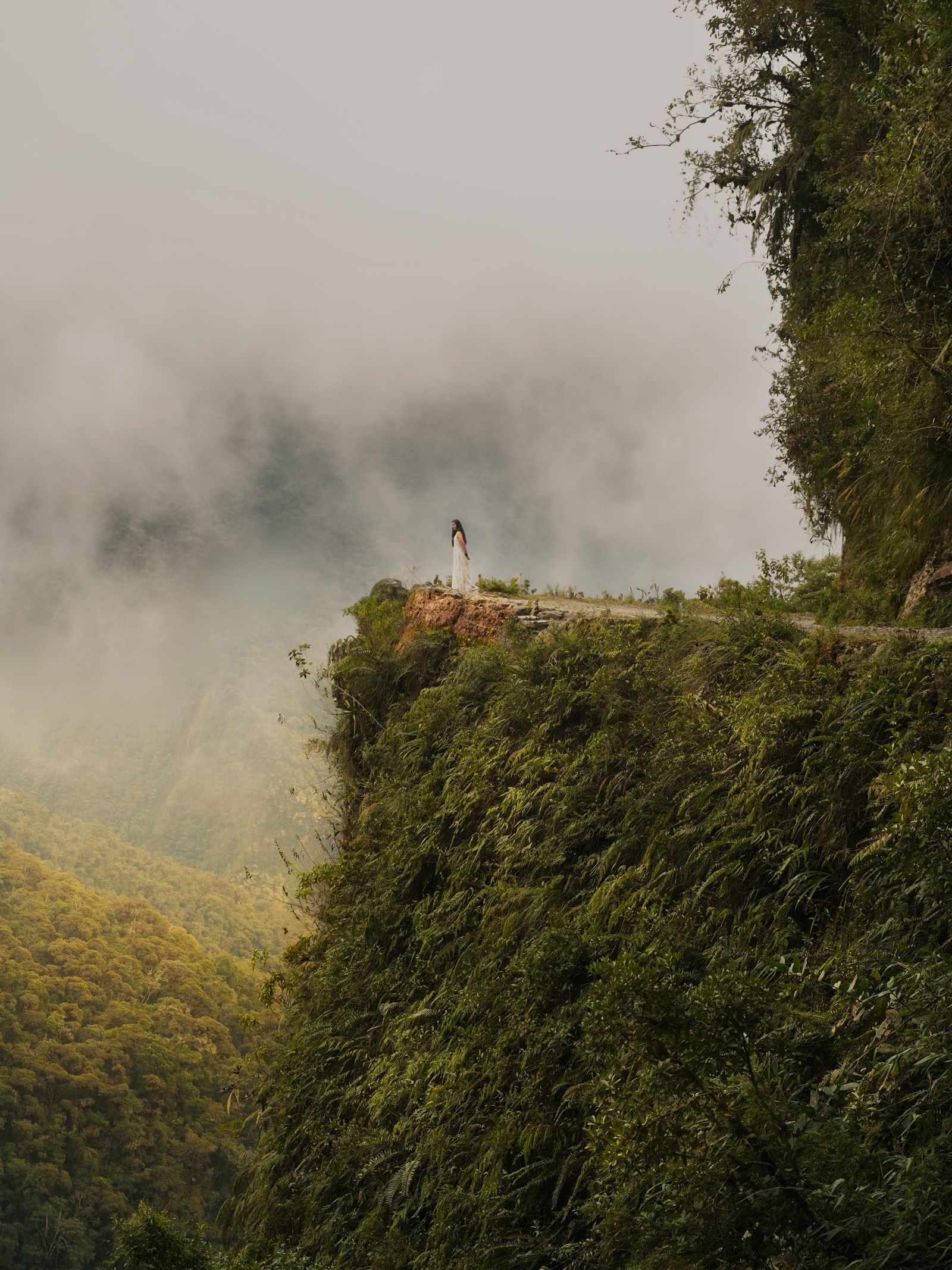
The best operators make 4–6 photo stops at the most spectacular viewpoints. The most dramatic moment is around km 30, where the road hangs over the precipice above the cloud forest.
🏊
Ends in Coroico — stay over
The tour ends in Coroico (1,760m) with lunch and a pool. Most people return to La Paz the same day, but the best move is staying 1–2 nights in Coroico. Cloud forest needs time.
⚠️
The real risk
It's not the fall to the cliff. It's overconfidence mid-descent, when you're warmed up. Keep speed controlled, use rear brakes and listen to your guide.
— Yungas destinations

Six destinations, one descent.

Coroico
1,760m
Nor Yungas

Coroico

Cloud forest town — 3h from La Paz

Bolivia's most popular mountain escape: a colonial village at 1,760m with cloud forest walks, swimming pools with jungle views, coffee farms and a warm microclimate year-round. Most visitors come for 2–3 nights after the Death Road descent. The main plaza has good restaurants and a relaxed atmosphere. Guided walks into the cloud forest with a local naturalist are the best use of a Coroico day.

Tip
Stay at least 2 nights — the forest walks, coffee farm visits and just slowing down after La Paz deserve time. Sunrise from the plaza terrace is exceptional.
Full guide →
Taquesi Inca Trail
42km · 2 days
La Paz / Yungas

Taquesi Inca Trail

Bolivia's finest Inca trail

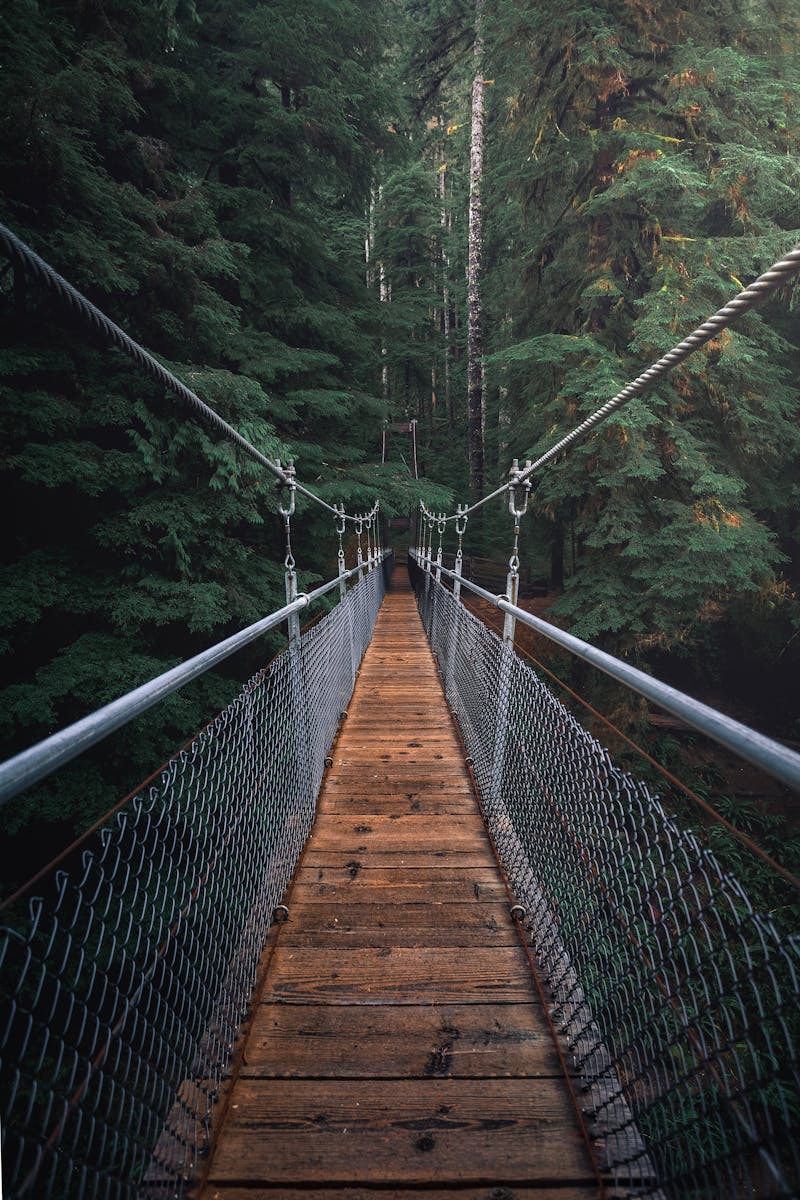
The Taquesi (Takesi) Trail is a 42km pre-Columbian route from the Andean peaks (4,630m at the Mina pass) down to the Yungas at Yanacachi (2,150m). Beautifully preserved Inca stone paving for much of the route. No permit required. Classic 2-day format: camp at the high pass, descend day 2. The trail crosses spectacular puna landscape, then drops through cloud forest and coca plantations.

Tip
Start from Chojlla (3h by road from La Paz). End at Kakapi or Yanacachi for transport to Chulumani or La Paz. A guide is optional but recommended — the trail is marked but not always clearly.
Full guide →
Choro Trail
60km · 3 days
La Paz / Beni

Choro Trail

The classic La Paz–to–Amazon descent

The Choro Trail is the longest and most dramatic of the three Yungas Inca trails — 60km descending from La Cumbre (4,880m) to Chairo (1,200m), passing through Andean grassland, cloud forest and subtropical forest before reaching the Amazon edge. 3–4 days. No permit required. The trail passes the Afro-Bolivian community of Choro Achura on day 3 — the opportunity for a genuine cultural encounter.

Tip
Start at La Cumbre, same departure point as the Death Road. The trail ends at Chairo where a 4x4 transfers you to Coroico or back to La Paz. Don't rush — the Choro is a 3-day experience, not a race.
Full guide →
Chulumani & Sud Yungas
1,700m
Sud Yungas

Chulumani & Sud Yungas

Coca, citrus and the slower Yungas

Capital of Sud Yungas at 1,700m, 3.5 hours south of La Paz by road. Less visited than Coroico, more authentically local. Surrounded by coca plantations, citrus and avocado groves. The weekly Sunday market draws Aymara communities from surrounding villages. The Afro-Bolivian community of Tocaña (20km away) offers cultural visits. Community tourism is better developed in the Sud Yungas than the Nor Yungas.

Tip
Combine Chulumani with a visit to the Tocaña Afro-Bolivian community (book in advance) and the Sunday market for a more authentic Yungas experience than Coroico.
Full guide →
Afro-Bolivian Communities
Cultural heritage
Nor Yungas

Afro-Bolivian Communities

500 years of African heritage in the Andes

Bolivia's approximately 25,000 Afro-descendants are concentrated in the Nor Yungas, particularly in Mururata, Tocaña and Dorado Chico — villages 20–40km from Coroico. Their ancestors were enslaved Africans brought to work the Potosí silver mines in the 16th–17th century, later relocated to the Yungas coca plantations. They preserved a distinct music and dance tradition (saya), their own royal institution (Rey Africano de Bolivia) and strong community identity.

Tip
Tocaña is the most accessible village (20km from Coroico). Always arrive with a guide or prior community contact — unannounced visits are not respectful. Love Bolivia has community contacts in Tocaña.
Full guide →
Caranavi & Coffee Circuit
900m
Nor Yungas

Caranavi & Coffee Circuit

Bolivia's best coffee — grown here

Caranavi (900m) is the coffee and cacao capital of Bolivia — the majority of Bolivia's specialty coffee is grown in the valleys around this small city. Bolivian coffee is almost entirely consumed domestically or exported in small specialty batches to Europe and Japan. Single-origin Yungas coffee is one of Bolivia's most underrated products. Coffee farm visits (some include overnight stay) are increasingly available.

Tip
The best access is via a 4-hour road from La Paz through Coroico. Several farms offer guided visits and cuppings. Ask Love Bolivia for a curated list of responsible farm hosts.
Full guide →
— Yungas birdwatching

700 species. 6 unmissable.

The Andes–Amazon transition zone holds Bolivia's highest bird diversity. Click to see where and when.

🦅High
Andean Condor
Vultur gryphus
La Cumbre / Death Road start
🦜High
Bolivian Motmot
Momotus aequatorialis
Coroico cloud forest
🐦Good
Andean Toucan
Andigena cucullata
Coroico and Choro trail
🦆High
Torrent Duck
Merganetta armata
Fast-flowing yungas rivers
🦋Good
Versicoloured Barbet
Eubucco versicolor
Subtropical yungas (700–1,500m)
🦉Medium
Yungas Pygmy-Owl
Glaucidium bolivianum
Coroico cloud forest
— When to visit

May–September: the perfect __win.

Jan
Feb
Mar
Apr
May
Jun
Jul
Aug
Sep
Oct
Nov
Dec
☀️May–Sep
Dry season — ideal conditions
Death Road with less mud, dry Inca trails, passable paths. Visibility over the cloud forest is at maximum. Mornings are cool, days are warm.
🦅Jun–Aug
Peak birding season
May–September is the best period for Yungas birdwatching: drier days favour morning bird activity. Local guides recommend departing between 5:30–8am.
🌿Oct–Nov
Early rains — maximum lushness
October's first rains trigger a vegetation explosion. The cloud forest is at its most dramatic. Some sections of the Choro trail become slippery.
🌧️Dec–Mar
Wet season — dramatic but difficult
The Yungas are accessible year-round but wet season complicates roads and trails. The Death Road by bike has more mud and reduced visibility. For experienced travelers with flexible dates only.
— Love Bolivia Yungas routes

The route designed for this ecosystem.

El Oso Andino
Route 06
El Oso Andino

The Yungas route: Death Road descent by mountain bike, cloud forest walks in Coroico, Taquesi Inca trail and Afro-Bolivian community visit.

La Paz · Death Road · Coroico · Taquesi · 5–8 days
from $1,400
La Paraba
Route 09
La Paraba

Bolivia's birding circuit crosses the Yungas cloud forest as a key stop between the Apolobamba Andes and Madidi Amazon — for serious birders.

Madidi · Yungas · Cloud Forest · Birding · 10–16 days
from $2,800
FAQ

Frequently asked questions.

Get in touch →

The Death Road (Camino de la Muerte) is a 64km road descending from La Cumbre pass (4,650m) to Coroico (1,760m), dropping 3,000 vertical metres through cloud forest. Called the world's most dangerous road by the Inter-American Development Bank in 1995. Since a new paved road opened in 2006, it's now almost exclusively used for mountain biking — Bolivia's most popular adventure activity.

Managed risk. The Death Road by bike has an excellent safety record with reputable operators — modern full-suspension bikes, full-face helmets, gloves and body armour are provided, and a support van follows the group. Choose a reputable operator (not the cheapest), insist on full-suspension bikes and check their safety briefing. Approximately 15–20 people have died cycling the road since the activity began in the 1990s.

The Taquesi Trail is 42km, typically walked in 2 days. It descends from the Andean peaks (4,630m at the Mina pass) to the Yungas at Yanacachi (2,150m), with beautifully preserved Inca stone paving for much of the route. No permit required. Start from Chojlla (3h from La Paz by road). A guide is optional but recommended.

Coroico (1,760m, 3h from La Paz) offers: swimming pools with cloud forest views, guided cloud forest walks (orchids, bromeliads, hummingbirds), coffee and cacao farm visits, mountain biking and paragliding. Stay 2+ nights for the full experience — the forest walks and coffee farms deserve time beyond the Death Road post-ride pool stop.

Bolivia has approximately 25,000 Afro-descendants concentrated in the Nor Yungas around Coroico — in Mururata, Tocaña and Dorado Chico. They are descendants of enslaved Africans brought to work the Potosí silver mines in the 16th–17th centuries, later relocated to Yungas coca plantations. They preserved a distinct music and dance tradition (saya) and their own king institution (Rey Africano de Bolivia). Tocaña village (20km from Coroico) is the most accessible community for respectful visits.

May to October (dry season) is best: Death Road conditions are optimal, cloud forest walks are easier and the trails are well-maintained. The Yungas receive rain year-round but wet season (November–April) brings heavy rainfall making the Death Road muddier and trails harder. For hiking, biking and camping, May–September is optimal.

— Plan your Yungas trip

Ready to descend
the Death Road?

45 minutes. We design your Yungas itinerary with logistics, accommodation and a realistic budget.

$90 · €85 · Bs. 623

Book a consultation → $90 · €85 · Bs. 623See El Oso Andino route