Skip to content
Llanos de Moxos Bolivia — llanura inundable del Beni donde se encuentran los geoglifos precolombinos más grandes del mundo
— Heritage · Llanos de Moxos, Beni~200m

Pre-Columbian
Earthworks
of Bolivia.

The largest ancient earthwork complex on the planet. 10,000+ mounds, causeways and fish ponds built 2,000 years ago in the Beni lowlands. A civilisation that transformed seasonal floodplains into an engineered landscape. UNESCO World Heritage candidacy.

Structures
10,000+
Area
~120,000 km²
Age
500 BCE – 16th C
Type
Mounds · Causeways · Fish ponds
Status
UNESCO candidacy
Access
Trinidad, Beni
— The Moxos civilisation

A civilisation that redesigned the Beni.

The Beni plains flood every year between November and April. The Moxos civilisation didn't flee these floods — it exploited them. For over 2,000 years, they built a hydraulic system of a scale that can only be appreciated from the air: 10,000+ structures that make Bolivia's lowlands the largest pre-Columbian engineering project on the continent.

The modern discovery of the geoglyphs was gradual: serious first reports came in the 1960s when flights over the Beni began revealing geometric patterns. It was in the 1990s and 2000s, with satellite remote sensing and systematic studies by researchers like Clark Erickson and John Walker, that the true extent of the Moxos civilisation became apparent.

This history changes the way we see Amazonia. What for centuries was considered 'virgin' and 'inhospitable' jungle turns out to be a landscape deeply transformed by humans — not through deforestation, but through engineering that improved the ecosystem and soil productivity for millennia.

🌊
Masters of water
Rather than abandoning the floodplains, the Moxos redesigned them. Their raised fields allowed cultivation during floods. Their causeways were communication routes above the seasonal sea.
🐟
Pre-Columbian aquaculture
The geometric fish ponds are one of the most remarkable innovations: designed to trap fish as floodwaters recede, guaranteeing protein during the dry season.
🏘️
Cities above the water
Settlement mounds (lomas) are artificial earth platforms that kept entire villages above maximum flood level. Some reach 15m height and 200m diameter.
📐
No metal, no wheel
All of this was built without metals, without the wheel and without draft animals. The scale of the project — 120,000 km² redesigned — makes it one of the most ambitious engineering works in human history.
— Four types of earthwork

Four solutions to one problem.

The problem: the Beni plains flood every year. The solution: four types of hydraulic engineering built at landscape scale.

⛰️
Settlement Mounds (Lomas)
Raised villages above the flood

Artificial earthen platforms on which entire communities lived, keeping them safely above the annual floodwaters. The largest lomas are impressive in scale — some are as large as a football pitch and as tall as a four-storey building. Each represents centuries of accumulated construction. Some still support forest island vegetation distinct from the surrounding savanna.

In the field
Visible at ground level — you literally walk up them without realising it. A guide explains what you're standing on.
Identified count
600+ identified
Typical dimensions
10–15m high · 50–200m wide
Construction period
500 BCE – 1400 CE
— How to visit

The air explains everything.

At ground level, the earthworks look like simple hills. From the air, one of the most complex engineering systems of the ancient world is revealed. Three ways to visit.

✈️Most impressive
Small-plane overflight

The perspective that changes everything. A 15–30 minute flight in a light aircraft from Trinidad airport reveals the scale and geometric perfection of causeways, mounds and fish ponds impossible to grasp at ground level. The plane flies low — the patterns are clearly visible even in dry season. Price: ~$80–120 USD/person in a shared charter.

Ask in Trinidad for Aerojet Bolivia or local charter plane operators. Love Bolivia can arrange access from Santa Cruz.
🚶With local guide
Ground-level walk

Walking on and around the lomas with an archaeologist guide from Trinidad. Allows you to see the real scale of the mounds (which look like natural hills), the differentiated vegetation growing on the earthworks, and understand the hydraulic system in its geographic context. You need a 4×4 to reach the most representative sites (10–60km from Trinidad).

Ask your hotel or guide in Trinidad for a local archaeologist or historian specialising in Moxos. The experience is radically different with expert interpretation.
🛶Wet season
Boat circuit

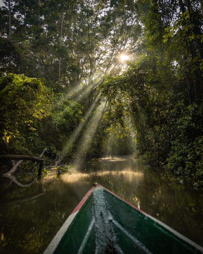
Between January and April, when the plains are flooded, it is possible to boat through the channels between raised fields and causeways. Seeing causeways emerging from the water — exactly as designed 2,000 years ago — is one of the most striking heritage experiences in Bolivia. Local guide and appropriate boat required.

The wet season makes ground access very difficult but offers the most authentic perspective of the original function of the earthworks.
— When to visit

The landscape changes with the water.

Jan
Feb
Mar
Apr
May
Jun
Jul
Aug
Sep
Oct
Nov
Dec
☀️May–Sep
Dry season — optimal access
Passable roads, mounds visible at ground level, less dense vegetation. Best period for overflights and guided walks. Causeways accessible by 4×4. Comfortable temperatures (25–32°C).
🌊Apr
The moment of receding waters
April is exceptional: waters still cover part of the plains but begin to retreat. Causeways emerge from the water like bridges, exactly as they functioned in antiquity. The most visually dramatic moment.
🛶Jan–Mar
Maximum flooding — boats only
The plains are fully flooded. Ground access is nearly impossible but boat access is possible with a local operator. Offers the most authentic perspective of the original hydraulic landscape — but requires great logistical flexibility.
🦅Jun–Jul
Peak wildlife on the plains
The dry season concentrates wildlife in permanent channels and lagoons. Overflights in this period also allow you to spot capybaras, herons, jabirus and sometimes caimans from the air.
— Getting there

The base is Trinidad.

✈️Recommended
Flight to Trinidad from Santa Cruz

Boliviana de Aviación and Amaszonas operate 1-hour direct flights from Santa Cruz Viru Viru (VVI) to Trinidad (TDD). Price: ~$80–120 USD one way. The fastest and most reliable option. From Trinidad, earthwork sites are 10–60km by road.

2–3 flights daily in dry season. Book 3–5 days ahead. Wet season (Nov–Mar) has reduced frequencies.
✈️From La Paz
Flight La Paz → Trinidad

Direct 1.5-hour flight from El Alto Airport (LPB) to Trinidad. Boliviana de Aviación operates the route. Price: ~$100–140 USD. The option for travellers arriving from La Paz without connecting through Santa Cruz.

Daily flight (frequency varies by season). Confirm schedule ahead.
🚌Long alternative
Bus from Santa Cruz

The Santa Cruz–Trinidad road takes 12–18 hours (partly unpaved). Price: $10–15 USD. The route crosses the Beni and can be cut in wet season (November–April). Not recommended except for travellers with extensive time who want to see the Beni landscape overland.

The bus is much cheaper but the time investment makes flying the logical choice for most visitors.
— Nearby destinations

A circuit through the Beni.

Base cityCapital del Beni
Trinidad
Gateway to the earthworks & river life
Fly from Santa Cruz (1h). Mototaxis are the main local transport. The Río Mamoré is spectacular from the waterfront.
Full guide →
3h west (via Rurrenabaque)Wildlife density
Pampas del Yacuma
Pink dolphins, caimans, anacondas
Fly to Rurrenabaque from La Paz or Santa Cruz (40 min), then 3h by motor canoe. Combine with the earthworks in a Beni circuit.
Full guide →
1h flight from TrinidadAmazon gateway
Rurrenabaque
Madidi jungle & Pampas tours
Small charter flights connect Trinidad and Rurrenabaque. The two-destination Beni circuit (earthworks + wildlife) is possible in 5–6 days.
Full guide →
— FAQ

Frequently asked questions.

Still wondering? Write to us — we answer every question personally.

Get in touch →

The Llanos de Moxos earthworks are the largest known complex of pre-Columbian earthworks on earth — over 10,000 geometric mounds, raised causeways, fish ponds and elevated agricultural fields built across ~120,000 km² of Bolivia's Beni department over 2,000+ years by the Moxos civilisation. This sophisticated hydraulic society engineered the seasonal floodplains of the Beni to create one of the most productive pre-Columbian agricultural systems in South America. The site has UNESCO World Heritage candidacy status.

The Moxos (Mojos) civilisation — a network of complex chiefdoms that inhabited the Beni lowlands from approximately 500 BCE to the Spanish conquest in the 16th century CE (over 2,000 years). They built raised fields, causeways, settlement mounds and fish ponds without metal tools, the wheel or draft animals. Modern descendants of the Moxos people — including the Mojo, Trinitario, Loretano and other communities — still live in the Beni today.

The most compelling view is from a small plane. A 15–30 minute overflight from Trinidad airport (~$80–120 USD/person in a shared charter) reveals the geometric perfection of causeways, mounds and fish ponds invisible at ground level. Ground-level guided walks from Trinidad also allow direct contact with the mounds and causeways — a guide familiar with Moxos archaeology is essential for meaningful interpretation.

Not yet formally listed, but the UNESCO candidacy has been advanced by the Bolivian government. The archaeological significance is unquestionable — the Llanos de Moxos earthworks represent one of the largest and most complex pre-Columbian engineering projects in the Americas. Researchers including Clark Erickson (University of Pennsylvania) and John Walker (University of Central Florida) have documented the site extensively.

The oldest known earthworks date to approximately 500 BCE. Construction continued across many phases for over 2,000 years until the Spanish conquest in the 16th century CE. The most complex mound and causeway complexes appear to date from approximately 500–1400 CE. Some structures may still have been actively maintained by Moxos communities as late as the 18th century.

May to September (dry season) is best for access and ground visibility. April is exceptional — waters recede and causeways emerge from the floods, exactly as designed. January–March (maximum flooding) makes ground access nearly impossible but a boat circuit offers the most dramatic hydraulic perspective. Avoid the wet season unless you have a local operator and boat arranged.

Boliviana de Aviación and Amaszonas operate direct flights from Santa Cruz (1 hour, ~$80–120 USD one way) and from La Paz (1.5 hours, ~$100–140 USD). Road access from Santa Cruz takes 12–18 hours and is partly unpaved. Flying is strongly recommended. From Trinidad, a local guide with 4×4 is needed to reach the earthwork sites (10–60km away).

Visits with a local guide from Trinidad are strongly recommended. The earthworks are spread across a vast landscape and appear as unremarkable hills at ground level without expert interpretation. A guide knowledgeable in Moxos archaeology transforms the experience. For the overflight, contact local plane charter operators in Trinidad directly or ask Love Bolivia to arrange it as part of a Beni circuit.

— Plan your Beni trip

2,000 years of engineering.
A 20-minute flight.

45 minutes. We design your Llanos de Moxos circuit with overflight, archaeologist guide and Beni wildlife.

$90 · €85 · Bs. 623

Book a consultation → $90 · €85 · Bs. 623Llanos de Moxos →