Three itineraries. One unique destination.
- Day 1: Arrive Uyuni — Train Cemetery, Colchani salt extraction, salt flat at sunset
- Day 2: Salt flat at sunrise — Incahuasi island, perspective photography, return by midday
Minimum viable. Covers the flat only — no volcanoes, coloured lakes or geysers of the south circuit.
- Day 1: Arrive, Train Cemetery, salt flat at sunset
- Days 2–4: 3-day/2-night tour — full salt flat + Laguna Colorada + Sol de Mañana + Laguna Verde
The ideal itinerary. The 3-day tour is substantially richer than the 1-day.
- Days 1–4: Uyuni + full 3-day south circuit (Laguna Colorada, volcanoes, Laguna Verde)
- Day 5: Uyuni → Potosí (4h bus) — Mint House, Cerro Rico, UNESCO colonial centre
- Days 6–7: Potosí → Sucre (3h) — white UNESCO city, central market, Bolivian cuisine
The complete altiplano route: salt, colonial silver and Sucre. Connects to a flight to Santa Cruz or return to La Paz.
Six altiplano experiences.
From the salt flat at sunrise to geysers at 4,850m. Selected by Bolivians.
Sunrise salt flat tour
The full-day tour departs at 5am for sunrise over the white crust. Route: Colchani (salt extraction village), vast flat crossing, Isla Incahuasi (the cactus island), perspective photography, sunset from the flat. The surface is the flattest point on Earth — perfectly horizontal across 200km in every direction. Cloud reflections are present year-round when the salt is slightly wet.
Mirror season
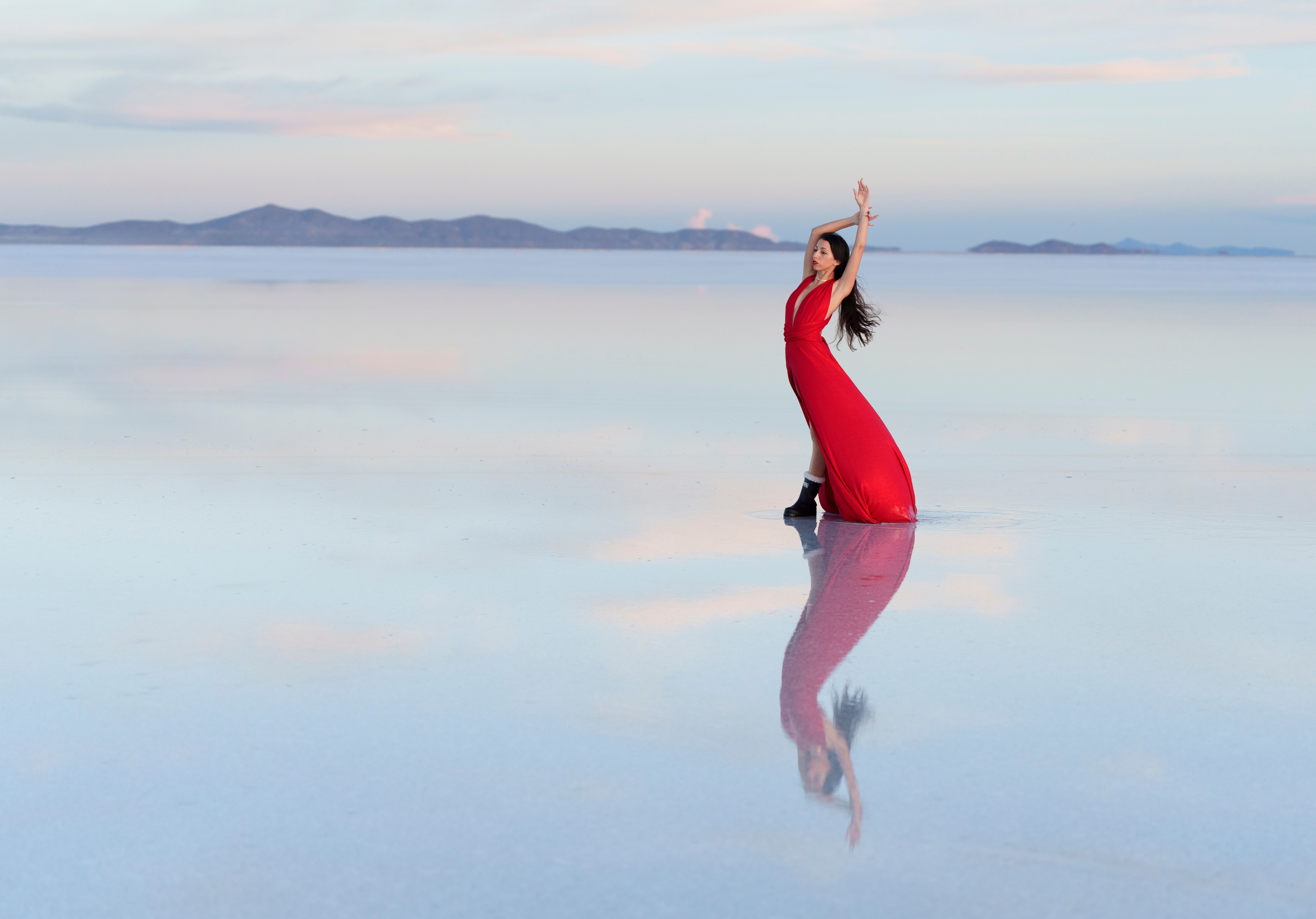
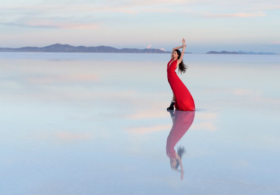
December to March: altiplano rainfall deposits a thin layer of water over the salt crust — between a few millimetres and a few centimetres. The sky reflects with photographic precision. At dusk the effect intensifies: pink-violet clouds mirrored against the white below. The condition depends entirely on recent rainfall and is never guaranteed. January and February are the most reliable months.
Isla Incahuasi
A rocky outcrop in the centre of the flat covered in giant Trichocereus cacti up to 10 metres tall and over 1,000 years old. The island is a former volcano that remained above the prehistoric lake level. The contrast between the ancient cactus and the infinite white is one of the most photographed compositions in South America. The highest viewpoint gives 360° of salt flat to the horizon.
Laguna Colorada
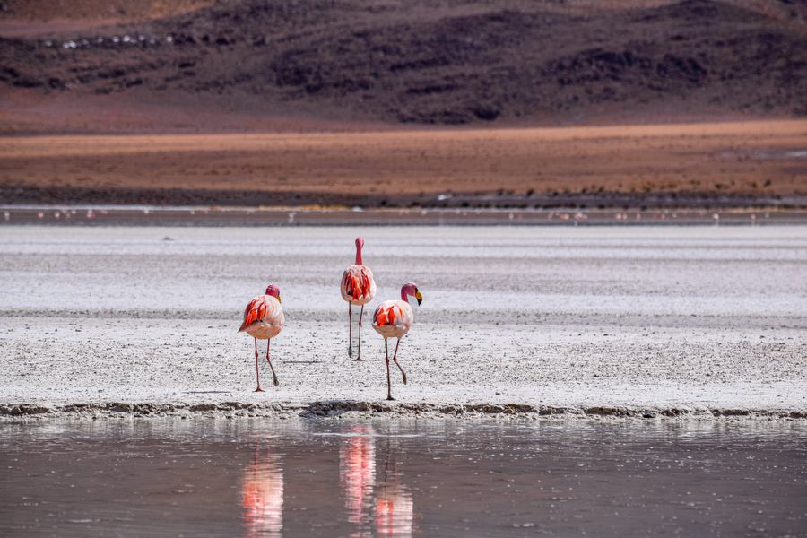
A blood-red salt lake at 4,278m in the Eduardo Avaroa National Reserve, 160km south of Uyuni. The red colour comes from algae containing beta-carotene pigments. Three flamingo species: Andean flamingo, James's flamingo and Chilean flamingo. Maximum numbers occur October–January. It is the most visually dramatic point in the 3-day tour — reached on Day 2 at sunrise, the red water against white shores and volcanic peaks is extraordinary.
Sol de Mañana geysers
A geothermal field at 4,850m — the highest point of the 3-day tour. Active geysers of boiling steam (up to 130°C), bubbling mud pools and sulphurous fumaroles. The tour arrives at 6–7am when temperature contrast with the freezing air creates spectacular steam columns. The site smells strongly of sulphur. Water temperature exceeds 80°C — stay on the marked path at all times.
Train Cemetery
A collection of rusting British steam locomotives abandoned on the altiplano 3km from Uyuni town. The cemetery dates from the late 19th and early 20th century — the locomotives transported silver and tin from the mining cities. When the mining industry collapsed, they were left in place. Visited at the start and end of most day tours. Excellent photography subject at sunrise or sunset, with the flat altiplano sky as backdrop.
Two seasons. Two different flats.
Unlike most destinations, in Uyuni both seasons are extraordinary — but for completely different reasons.
The altiplano all around you.
Laguna Verde & Licancabur
Laguna Verde is a striking turquoise-green lake at 4,350m at the feet of Volcán Licancabur (5,920m) and Volcán Juriques, on the Chilean border. The green colour comes from magnesium, calcium and suspended minerals. Nearby Laguna Blanca provides an extraordinary chromatic contrast — white and green lakes side by side. This is the final morning of the 3-day tour and can be combined with a border crossing to Chile.
Volcán Tunupa & Coquesa mummies
Volcán Tunupa (5,321m) rises on the north shore of the Salar. A 2–3h hike from Coquesa village reaches the cave on the volcano's flank where pre-Columbian mummies were found. The view from the cave looking south over the entire salt flat is extraordinary. A less-visited alternative to the standard south circuit — the north shore of the salar is quieter and equally photogenic at sunset.
Potosí
The city that funded the Spanish Empire for 200 years. At 4,090m, it has one of the best-preserved colonial historic centres in South America (UNESCO, 1987). The Casa de la Moneda (Royal Mint) is the finest colonial building in Bolivia. Cerro Rico — the mountain that produced billions of silver pesos — still has active cooperative mines offering intense, authentic mine tours. 4h by bus from Uyuni.
San Pedro de Atacama (Chile)
The 3-day tour can end in San Pedro de Atacama instead of Uyuni, crossing the Chilean border at Hito Cajones (4,500m) near Volcán Licancabur. San Pedro is a small desert town and world-class astronomy destination at 2,400m — the drop in altitude from 4,000m+ feels like a physical gift. Moon Valley (Valle de la Luna) and the Atacama observatories make it a natural extension of the Bolivia circuit.
Getting there and getting around.
How to get to Uyuni
- Fly — BoA or Amaszonas: La Paz → Uyuni in ~1h ($50–100 USD, 2–3 flights/day). Uyuni Airport (UYU) is 3km from the town centre. Flights also from Sucre (45 min).
- Overnight bus — La Paz terminal to Uyuni, ~10h overnight ($15–30 USD). Several companies: Todo Turismo, Trans Uyuni, Litoral. Depart 8–10pm, arrive 6–8am.
- Train from Oruro — Ferroviaria Andina runs Oruro–Uyuni (Tuesday and Friday, ~7h, highly scenic). Oruro is 3.5h from La Paz by bus.
- From Potosí: 4h by bus or shared taxi. Paved road, intense altiplano landscape.
How to get around Uyuni
- All salt flat and south circuit exploration requires organised 4x4 tours with guide-driver — independent exploration in a standard vehicle is not feasible.
- 1-day tour (~$60–90 USD/person): Train Cemetery, salt flat, Incahuasi island, sunset.
- 3-day/2-night tour (~$80–150 USD/person depending on operator): full southwest circuit with lodge accommodation and meals included.
- Recommended operators: Tonito Tours, Cordillera Traveller, Andes Salt Expeditions. Vehicle and guide quality varies significantly — ask for references.
- Uyuni town: fully walkable. Hotels, restaurants, tour agencies, banks (ATMs accept Mastercard/Visa) — all within a few streets.
When to visit the Salar.
The Salar has two extraordinary seasons for opposite reasons. There is no single right answer — it depends on what you are looking for.
Connected routes and ecosystems.
The Salar de Uyuni is the heart of the Altiplano ecosystem and the central point of the most-requested Love Bolivia routes.

— Gallery
Bolivia in focus
Real photography from our routes. No stock images. Hover to explore.

Questions about the Salar de Uyuni.
The 9 most common questions about travelling to the Salar de Uyuni, Bolivia.
Plan your trip with us →Mirror or white crust.
The Salar always wins.
45 minutes. We design your Salar de Uyuni and Bolivia itinerary with logistics, accommodation and a realistic budget.
$90 · €85 · Bs. 623