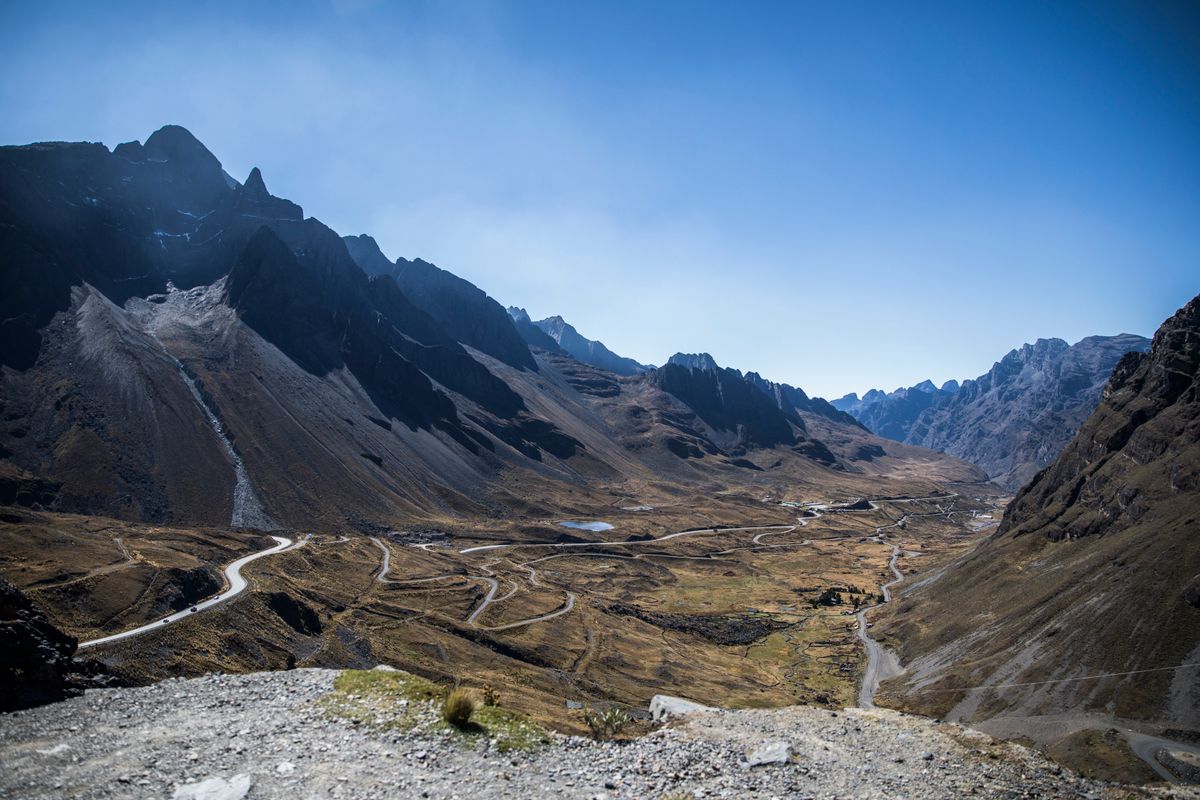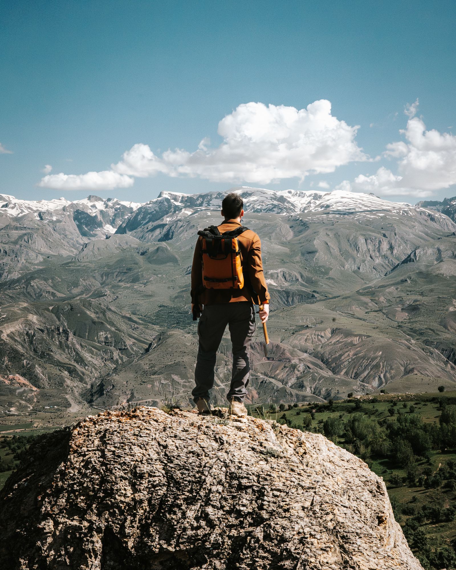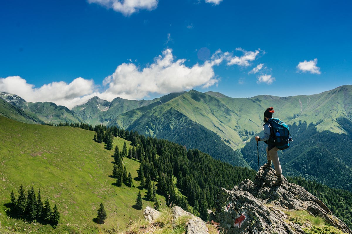
Bolivia has more trekking routes than almost any other country in South America, and almost no queues on any of them. The combination of the Cordillera Real (Bolivia’s stretch of the Andes, with 17 peaks above 6,000 m), the dramatic 3,000-metre drops into the cloud forest of the Yungas, and the near-total absence of mass tourism infrastructure means you can walk for four days from glacier to jungle and not see another foreign face after day one.
What Bolivia lacks is not scenery or altitude or Inca archaeology. What it lacks is marketing. Here are the six routes that deserve to be on more itineraries.
The Choro Trail: The Classic Descent
Distance: 68 km | Duration: 3–4 days | Start: La Cumbre, 4,725 m | End: Chairo / Coroico, 1,500 m
The Choro is Bolivia’s best-known multi-day trek, and the closest thing the country has to a classic trail. It starts at La Cumbre — the same pass where Death Road cyclists launch their descent — and drops 3,200 metres over three days into the Yungas cloud forest before ending at the village of Chairo, two hours from Coroico.
The first day is exposed and cold, crossing the high puna above 4,500 m with views of the Huayna Potosí massif. By day two you are in cloud forest, orchids appearing on tree trunks and the vegetation shifting every 500 metres of altitude lost. Day three brings subtropical jungle, hummingbirds at breakfast and the smell of mud and banana plants.
Logistics: Any minivan going to Coroico from La Paz passes La Cumbre — you pay at the roadside for a drop-off. No permits needed. Basic refugios operate at Chucura and Sandillani with bunks and meals at around Bs 60–80. The trail is well-marked enough to do without a guide, though a local arriero (mule handler) can carry gear for Bs 120–150/day.
Best for: Trekkers who want to combine altitude and jungle without technical climbing.
The Taquesi Trail: The Inca Road
Distance: 40 km | Duration: 2–3 days | Start: Mina San Francisco, 4,650 m | End: Chulumani, 1,200 m
The Taquesi is shorter than the Choro but arguably more impressive. Much of the route follows original Inca stone paving — 500-year-old blocks fitted without mortar, some sections still intact after five centuries of rain and foot traffic. The archaeology alone justifies the detour.
The route descends from near Mina San Francisco through alpine lakes and then into the same subtropical Yungas corridor as the Choro, finishing near Chulumani in the Sud Yungas — a town famous for coca cultivation and a relaxed pace that contrasts sharply with the altitude of day one.
Logistics: Take a minivan from La Paz to Ventilla (Bs 10, 2 hours), then a local truck up to the start at Mina San Francisco. End-of-trail transport from Chulumani to La Paz runs throughout the day (Bs 40, 4 hours). Refugios are scarcer than on the Choro — carry your own tent or confirm with local operators in La Paz.
Best for: Those who want Inca history with their altitude drops.
Huayna Potosí: The 6,000-Metre Beginner’s Peak
Elevation: 6,088 m | Duration: 2 days | Technical rating: F (Facile) with crampons and ice axe
Huayna Potosí is unique: it is the most accessible 6,000 m peak on the planet for people with no previous high-altitude mountaineering experience. The standard route (Normal Route, west face) does not require ropes — just crampons, ice axe, a certified guide, and two days of acclimatisation at the base camp (5,130 m) before the summit push.
The summit push begins at midnight and takes 5–8 hours depending on conditions. At the top at 6,088 m you are above the La Paz valley with views of the entire Cordillera Real. The descent takes 3–4 hours back to base camp.
Logistics: All La Paz tour agencies offer Huayna Potosí packages. Guided 2-day summit costs US$180–220 per person including equipment rental (crampons, ice axe, overtrousers, harness), transport and meals at base camp. Solo climbing is not permitted. The mountain is best attempted June–September when the snowpack is stable and the summit window is most predictable.
Best for: Hikers who want their first 6,000 m summit without a mountaineering CV.
El Camino del Oro: The Gold Road
Distance: ~90 km | Duration: 4–5 days | Start: Lambate, 3,800 m | End: Guanay, 400 m
The Gold Road (El Camino del Oro) was used by Inca, then Spanish colonial, then artisanal gold miners to transport gold from the river valleys of the Cordillera to La Paz. It is still used today. You may share the path with arrieros and miners carrying packs by mule.
The route descends from the cold puna at Lambate through progressively denser cloud forest to the goldmining town of Guanay on the Mapiri river — one of the most complete altitude transitions in South America, from treeless high Andean steppe to Amazon lowland forest. River crossings by rope bridge and basic miner’s refugios are part of the experience.
Logistics: This route requires a local guide — the path has unmarked junctions and passes through mining communities where a stranger arriving alone creates tension. La Paz agencies that run the Choro and Taquesi also offer Camino del Oro. Cost: approximately US$120–160/day all-inclusive for 2 people.
Best for: Experienced trekkers who want genuine remoteness and historical depth.
The Sajama Circuit: Bolivia’s Volcano Loop
Duration: 4–5 days | Base elevation: 3,650 m | Max: 5,200 m on the upper flanks | Nearby: Sajama volcano, 6,542 m (Bolivia’s highest peak)
Sajama National Park, 200 km west of La Paz near the Chilean border, centres on the cone of Sajama (6,542 m) — Bolivia’s highest volcano and the highest peak in the country. The circuit that rings its base passes through Aymara communities, thermal pools (at 4,200 m, heated by the volcanic system), ancient bofedales (high-altitude wetlands) and herds of vicuñas.
The circuit doesn’t summit Sajama (which requires technical mountaineering and a permit), but the walking on the lower flanks above 4,500 m gives constant views of the peak and of the Chilean volcanoes across the border. The Aguas Termales de Sajama — geothermally heated pools — make for one of the more surreal camping spots in South America.
Logistics: Sajama is reachable by bus from La Paz via Patacamaya (5 hours, Bs 25) or by shared taxi from Patacamaya. Community tourism infrastructure means you can book homestays and meals in the village of Sajama directly. A local guide (Bs 150–200/day) is recommended for the upper circuit sections.
Best for: Those combining a Bolivia visit with a Chile crossing who want altitude without technical climbing.
The Condoriri Base Camp: Three Days of Lakes and Glaciers
Duration: 3 days | Base camp elevation: 4,700 m | Start: Tuni reservoir, 4,300 m
Just 60 km from La Paz, the Condoriri massif is a cluster of peaks around the central summit of Cabeza del Condor (5,648 m). The three-day base camp trek does not require technical climbing — it is a glacier-lake circuit that moves between moraine lakes, glacier viewpoints and bofedales with Andean geese and viscachas.
On clear days (most of May–September) the reflections of the glacier in the moraine lakes are the kind of image that appears on Bolivia tourism brochures. Because Condoriri sits at lower altitude than Huayna Potosí, it is a good acclimatisation objective before a summit attempt on any 6,000 m peak.
Logistics: Take a taxi or rental to the Tuni reservoir (1.5 hours from La Paz). No permits needed. Camping only — no refugios on the circuit. Carry food, tent and sleeping bag rated to -10°C minimum.
Best for: Acclimatisation trekkers and photographers looking for glacier-lake landscapes close to La Paz.
Practical Information for All Routes
Season: May to October for all routes. June and July are the driest and clearest months — best for photography and for any route with exposed sections above 4,500 m.
Acclimatisation: Spend at least 2 nights in La Paz (3,640 m) before starting any route above 4,000 m. For Huayna Potosí, add one night at base camp (5,130 m) before the summit push.
What to carry: Water purification tablets or a filter (all mountain water on the Choro and Taquesi should be treated), a sleeping bag rated to -10°C for the first night on any route, sun protection factor 50+ (UV index in the Bolivian Andes reaches 18–22), and snacks for at least one extra day in case of rain delay.
Insurance: Standard travel insurance often excludes trekking above 4,000 m and mountaineering. Check your policy before you go. Specific altitude trekking policies are available from World Nomads and similar providers.
Key facts
- → The Choro Trail begins at La Cumbre (4,725 m) and descends to Chairo (1,500 m) over 68 km in 3–4 days — Bolivia's most popular multi-day trek.
- → Taquesi Trail follows 500-year-old Inca stone paving from 4,650 m to 1,200 m over 40 km in 2–3 days, ending near Chulumani in the Sud Yungas.
- → Huayna Potosí at 6,088 m is considered the world's most accessible 6,000 m peak; guided 2-day summit costs approximately US$180–220 per person.
- → El Camino del Oro (Gold Road) runs 4–5 days from Lambate (3,800 m) to Guanay (400 m), used by artisanal gold miners; requires a local guide.
- → All major La Paz trekking routes are best attempted May–October (dry season); June and July offer the most stable weather and mountain visibility.
Frequently asked questions
Do I need a guide for trekking in Bolivia? +
Choro and Taquesi can be done independently with a good map — the paths are marked and have basic refugios. Huayna Potosí requires a certified guide and proper mountaineering gear. El Camino del Oro is strongly recommended with a guide due to unmarked forks and mining community protocols.
What is the altitude on Bolivia's trekking routes? +
Most routes start above 4,500 m and descend into the Yungas (1,200–2,000 m). Two to three days of acclimatisation in La Paz (3,640 m) or Sucre (2,750 m) before starting any route above 4,000 m is strongly recommended.
When is the best time to trek in Bolivia? +
May to October (dry season) is best. June and July have the most stable weather, clearest views and driest trail conditions. November to March brings rain that makes the descents into the Yungas extremely slippery and raises the risk of landslides on cliff-edge trails.