Most Bolivia itineraries run north–south: La Paz, Uyuni, Sucre, Potosí. Santa Cruz gets treated as an airport. That is how Samaipata stays off the list — a valley town two and a half hours west of Bolivia’s biggest city, sitting beside one of the strangest archaeological sites in South America.
El Fuerte de Samaipata is not a ruin in the usual sense. There is no pyramid, no plaza of cut blocks. Instead there is a sandstone ridge, roughly 220 metres long and 60 metres wide, into which someone carved channels, basins, seats, niches and animal reliefs directly out of the living rock. It is the largest carved rock in the world, and UNESCO added it to the World Heritage List in 1998.
What El Fuerte actually is
The name is misleading. “El Fuerte” — the fort — is a Spanish label applied centuries after the carving was done, and the site was almost certainly ceremonial rather than military.
Three cultures, one rock
The sequence matters, because you can see all three layers on a single visit:
- The Chané, an Arawak-speaking people, occupied the ridge from around 300 CE, through what archaeologists call the Mojocoyas period (200–800 CE). The abstract carvings — the parallel channels running down the rock’s spine, the feline and serpent reliefs — belong to this pre-Inca world.
- The Inca absorbed the site during the late reign of Tupac Yupanqui, who ruled from 1471 to 1493. They built the administrative sector below the rock: a plaza roughly 100 metres on each side, and a kallanka (great hall) 70 metres long by 16 metres wide, one of the largest in the empire. This was the eastern frontier of Tawantinsuyu, held against the Chiriguano who began raiding in the 1520s.
- The Spanish arrived last, formally settling in 1615 and founding the town of Samaipata in 1618 in the valley below.
The whole archaeological site covers about 20 hectares at roughly 1,900 m above sea level.
What you will see on the path
Visitors follow a fixed perimeter loop — the carved surface has been closed to foot traffic since the 1990s to stop erosion. Highlights along the loop:
- El Coro de los Sacerdotes (“the priests’ choir”), a group of 18 niches cut into the highest point of the rock.
- The twin channels, two parallel grooves running down the rock’s back, widely interpreted as ritual conduits for chicha or water.
- 21 rectangular niches at the base of the rock.
- The Inca plaza and kallanka foundations, visible from the lower viewpoints.
Bring binoculars or a zoom lens. The detail sits 30 to 80 metres from the path.
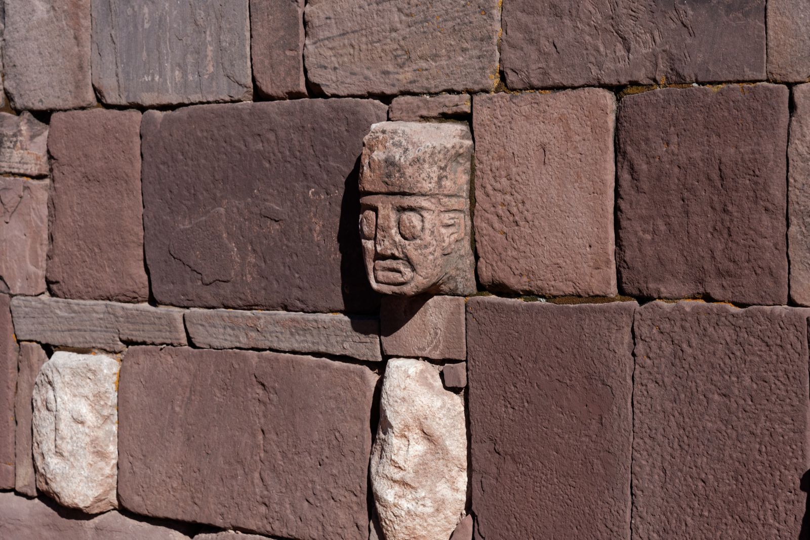
If you have already stood in front of the Gate of the Sun, it is worth knowing that this is a very different kind of site: the stonework at Tiwanaku is assembled from cut and fitted blocks, while at Samaipata almost nothing was moved — the architecture was subtracted from a ridge that was already there.
Getting to Samaipata
Samaipata is about 120 km west of Santa Cruz de la Sierra on Route 7, a drive of roughly 2.5 hours. The road is paved but climbs and winds through the Andean foothills, so it takes longer than the distance suggests.
Shared taxis (trufis) are the standard option. They leave all day from the corner of Avenida Grigotá and Calle Solís de Holguín in Santa Cruz, departing when full rather than on a schedule. Get there before mid-afternoon.
From Samaipata town, El Fuerte is about 9 km away. Taxis wait at the plaza and will run you up, wait two hours and bring you back. Walking up is possible but it is a sustained climb on a dirt road with no shade.
Where Samaipata fits in an itinerary
The town sits at about 1,650 m. Santa Cruz is at 416 m. La Paz is at 3,640 m. That makes Samaipata a genuinely useful acclimatisation step if you are flying into the lowlands and heading for the altiplano afterwards — a night or two here takes the edge off what comes next. If you are travelling the other direction, it is the softest landing in Bolivia after weeks above 3,500 m.
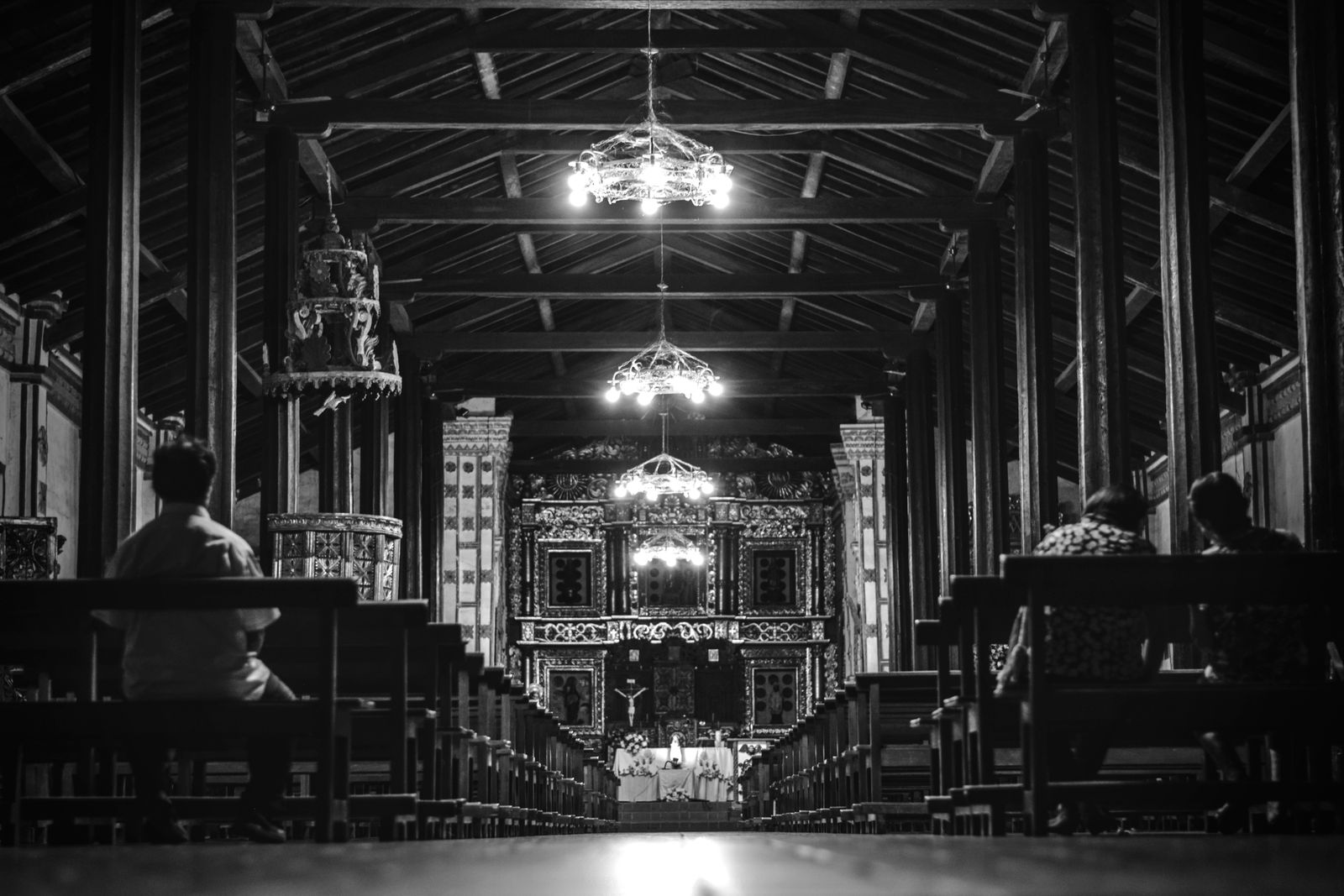
Paired with the Jesuit mission circuit east of Santa Cruz, Samaipata turns the eastern lowlands into a week of its own rather than a transit stop.
Amboró National Park
Samaipata is the main southern gateway to Amboró National Park, and this is the reason to stay a second day.
Amboró covers 442,500 hectares — 4,425 km² — and its altitudinal range runs from about 300 m in the lowlands to roughly 3,350 m on its western edge. That vertical spread is the whole point: the park sits where the Amazon basin, the Andes and the dry Chaco converge, so a single reserve holds cloud forest, giant tree ferns, lowland jungle and montane scrub.
From Samaipata you enter the southern, higher section. The classic day walks are the giant fern forest (a stand of tree ferns that look distinctly prehistoric) and Volcanes, a valley of red sandstone towers on the park’s edge. Both need a guide and a 4WD transfer; agencies on the Samaipata plaza arrange them daily.
Beyond the rock
- Cuevas waterfalls — three falls with swimmable pools about 20 km east of town, easy to reach by trufi.
- La Pajcha — a 30-metre waterfall roughly 40 km south, a rougher road but a better swim.
- The Che Guevara route — Vallegrande and La Higuera, where Che was captured and killed in October 1967, lie south of Samaipata and are usually done as a long day trip or an overnight.
- Local wineries — the valley’s altitude and dry air support small vineyards, a northern echo of what happens on a much larger scale in Tarija.
Practical notes
Best time to go. May to October is the dry season and the reliable window. The valley is green year-round, unlike the altiplano, but January and February bring heavy rain that can close the dirt roads into Amboró.
What it costs. Entry to El Fuerte is charged per person at the site gate; budget for the taxi up and back as a separate cost. Amboró guided day trips are priced per group, so they get much cheaper if you find two or three other travellers on the plaza the evening before.
Where to stay. Samaipata has an unusually good spread of small guesthouses and eco-lodges for a town of its size, a legacy of the long-term European residents who settled here. Book ahead in July and August, when Cruceños escape the lowland heat.
Sun. At 1,650 m in a dry valley the UV index runs high even when the air feels cool. Cover up on the exposed perimeter path at El Fuerte — there is no shade on the ridge.
Key facts
- El Fuerte de Samaipata was inscribed on the UNESCO World Heritage List in 1998 at the 22nd session of the World Heritage Committee.
- The ceremonial sector is carved into a single sandstone ridge measuring roughly 220 metres by 60 metres, making it the largest carved rock in the world.
- The archaeological site covers about 20 hectares and sits at roughly 1,900 m above sea level, while the town of Samaipata lies lower at about 1,650 m.
- Occupation runs from the Chané around 300 CE, through the Mojocoyas period (200-800 CE), Inca incorporation under Tupac Yupanqui (ruled 1471-1493), and Spanish settlement from 1615, with the town founded in 1618.
- Samaipata is about 120 km west of Santa Cruz de la Sierra on Route 7, a drive of roughly 2.5 hours.
- Amboró National Park covers 442,500 hectares (4,425 km²) and spans altitudes from about 300 m to 3,350 m, which is why its species list is one of the densest in Bolivia.
Frequently asked questions
How do you get from Santa Cruz to Samaipata?
Shared taxis (trufis) leave all day from the corner of Avenida Grigotá and Calle Solís de Holguín in Santa Cruz and take about 2.5 hours to cover the 120 km on Route 7. They leave when full rather than on a timetable, so arrive before mid-afternoon. A private transfer or rental car takes the same road; the route is paved but winding through the Andean foothills, so it is slower than the distance suggests.
How many days do you need in Samaipata?
Two nights is the practical minimum: one full day for El Fuerte plus the town, and a second day for Amboró National Park or the waterfalls at Cuevas and La Pajcha. Day trips from Santa Cruz exist but give you about three hours on site after five hours in a vehicle. Three nights lets you add a longer cloud-forest hike or the Che Guevara route towards Vallegrande.
Do you get altitude sickness in Samaipata?
Very unlikely. The town sits at about 1,650 m and the archaeological site at roughly 1,900 m, both far below the 2,500 m threshold where acute mountain sickness normally begins. Samaipata is often used the other way round — as a gentle first step up from Santa Cruz (416 m) before continuing to Sucre, Cochabamba or La Paz.
Can you walk on the carved rock at El Fuerte?
No. Since the 1990s visitors follow a fixed perimeter path with viewing points, and the carved surface itself is closed to foot traffic to stop erosion of the channels, niches and animal reliefs. Bring binoculars or a zoom lens — the detail that makes the site worth the trip is 30 to 80 metres away from the path.